Mountain #4: Mt. Adams Summit
Date: June 29th/30th, 2023
Distance: Approximately 12 miles round trip
Elevation gain: Approximately 6700 feet
Start/Finish: Mt. Adams South Climb Trailhead, Cold Springs
Duration: Two days with base camp at the lower Lunch Counter
Logistics:
It is important to note that you can NO LONGER obtain Mt. Adams climbing permits at the Trout Lake Ranger Station. Climbing permits MUST be purchased ahead of time online and two copies, one for your car and one for your person, must be printed out. Blue bag kits may or may not still be available at the Ranger Station. I was told they would be available at the trailhead, and they were not. Luckily we planned accordingly anyway, and one of our crew had enough Wag Bags for every person in our group!
Mt. Adams:
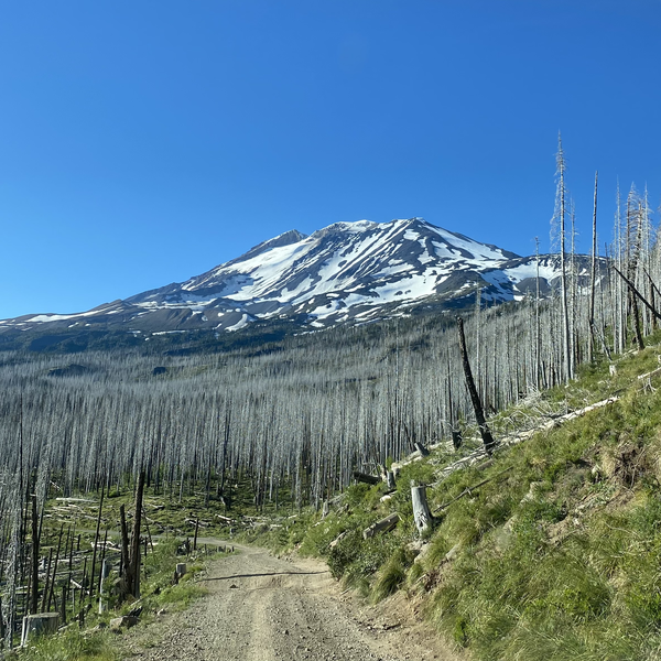
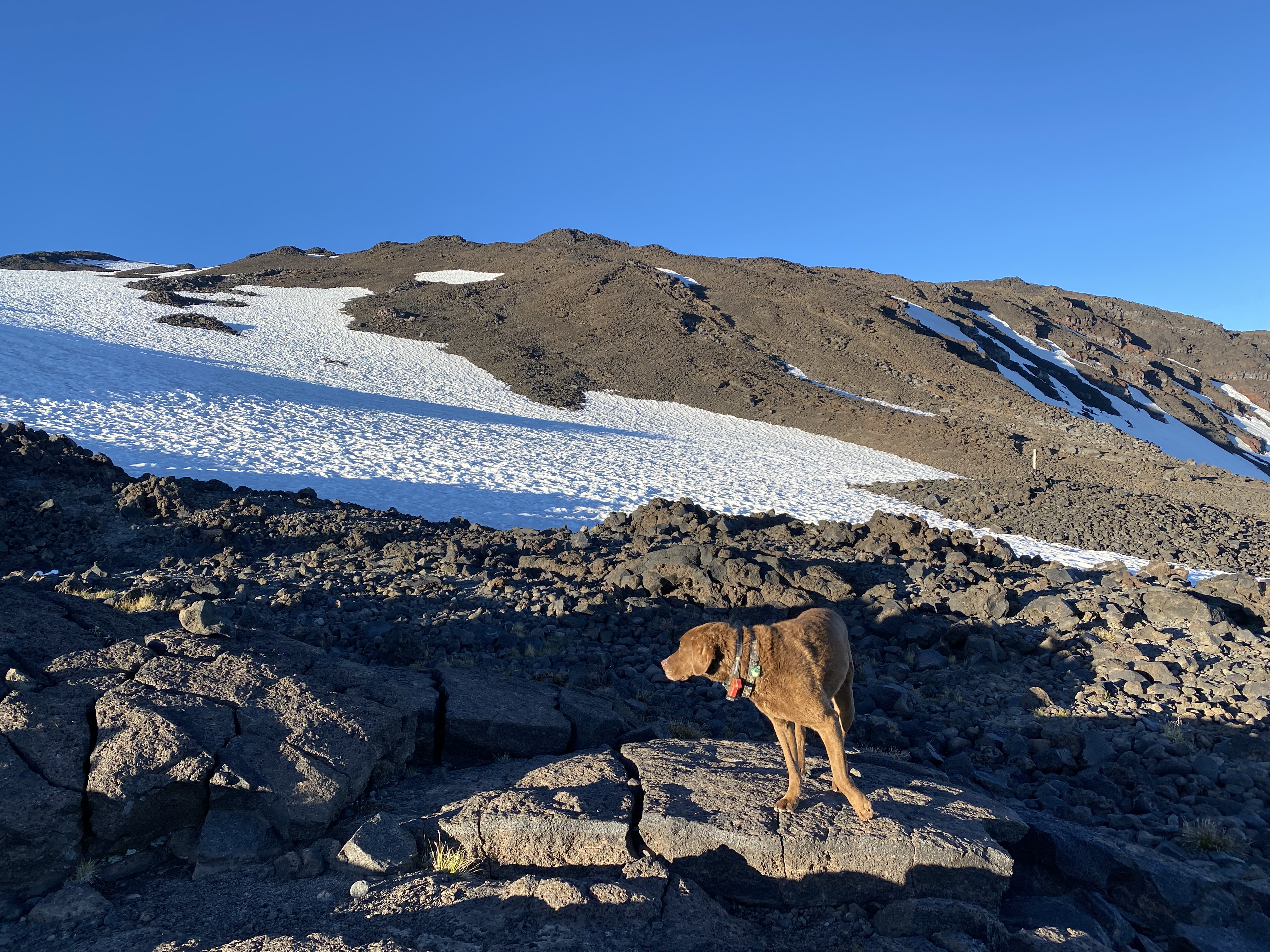
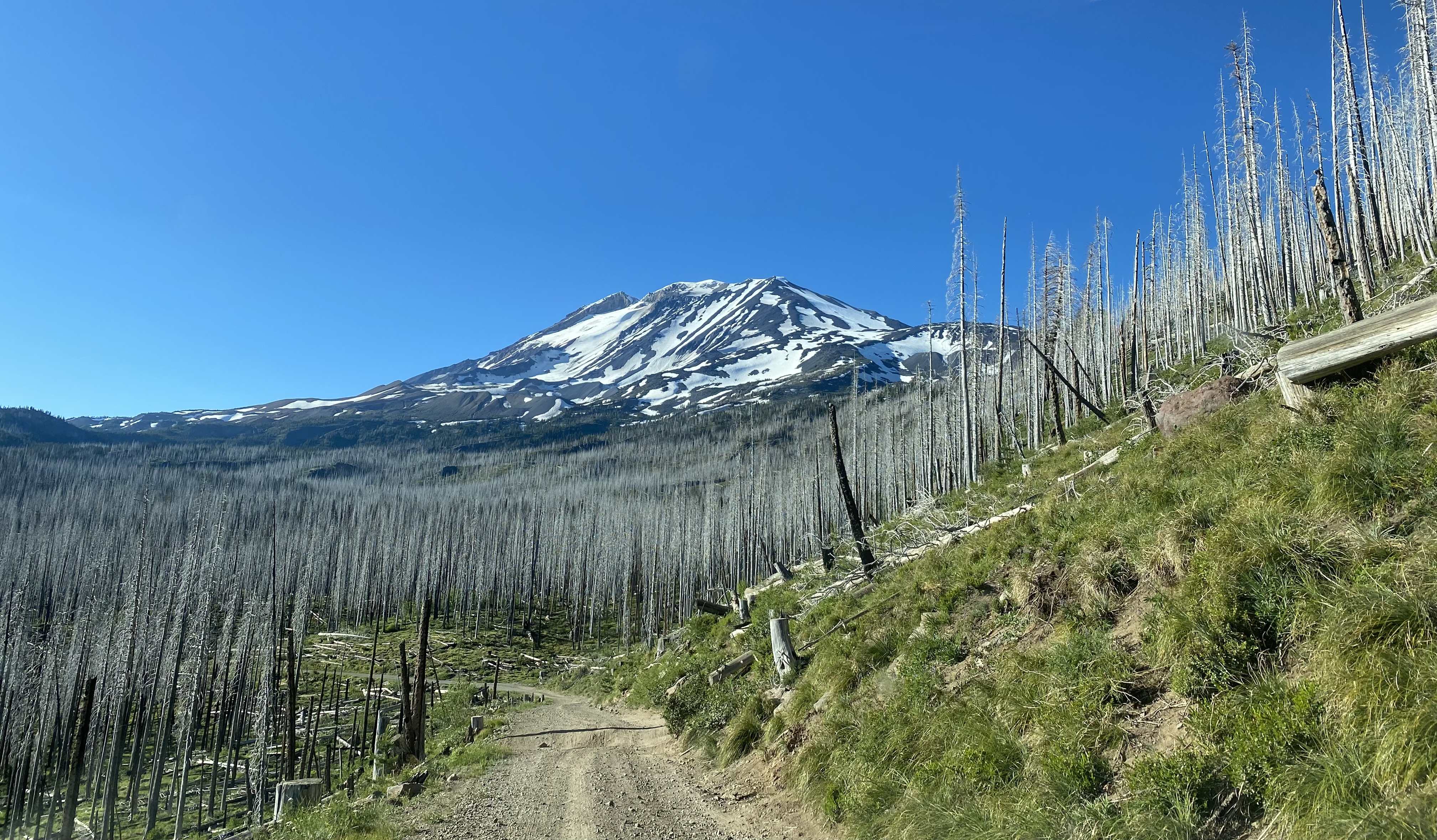
From what I could gather, the road was clear of snow to the trailhead by mid-June this season. I also heard that some people tried hard to dig out the last bit of road, while others chose to walk the extra 2 miles to the trailhead. Rumor has it there were even moguls formed in the Southwest chutes even before the road opened up! While our crew had one skier looking for his 130-something ski day of the year, the rest of us traveled by foot, or paws, up the Mountain. After driving the oh-so-amazing road that seems to get worse every year, our crew convened at the Mt. Adams Cold Springs Trailhead around 9:00 AM on June 29th, 2023. It was the Thursday before the 4th of July, so the parking lot was only half-full by the time we departed. After the traditional parking lot and gear shuffle, last minute potty breaks, Wag-Bag procurement, etc., our crew started our ascent up the Mountain around 10:00 AM, as the temperature started to creep up. The trail was mostly snow-free until after the junction with the Around the Mountain trail.
First snow patch
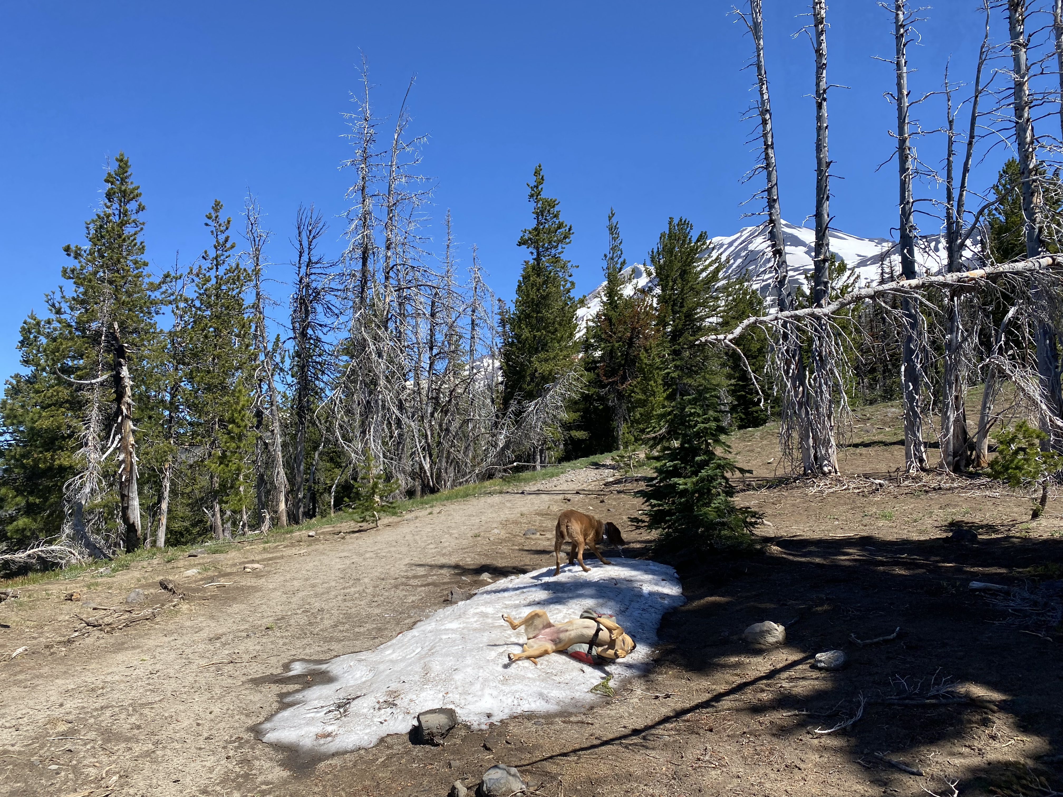
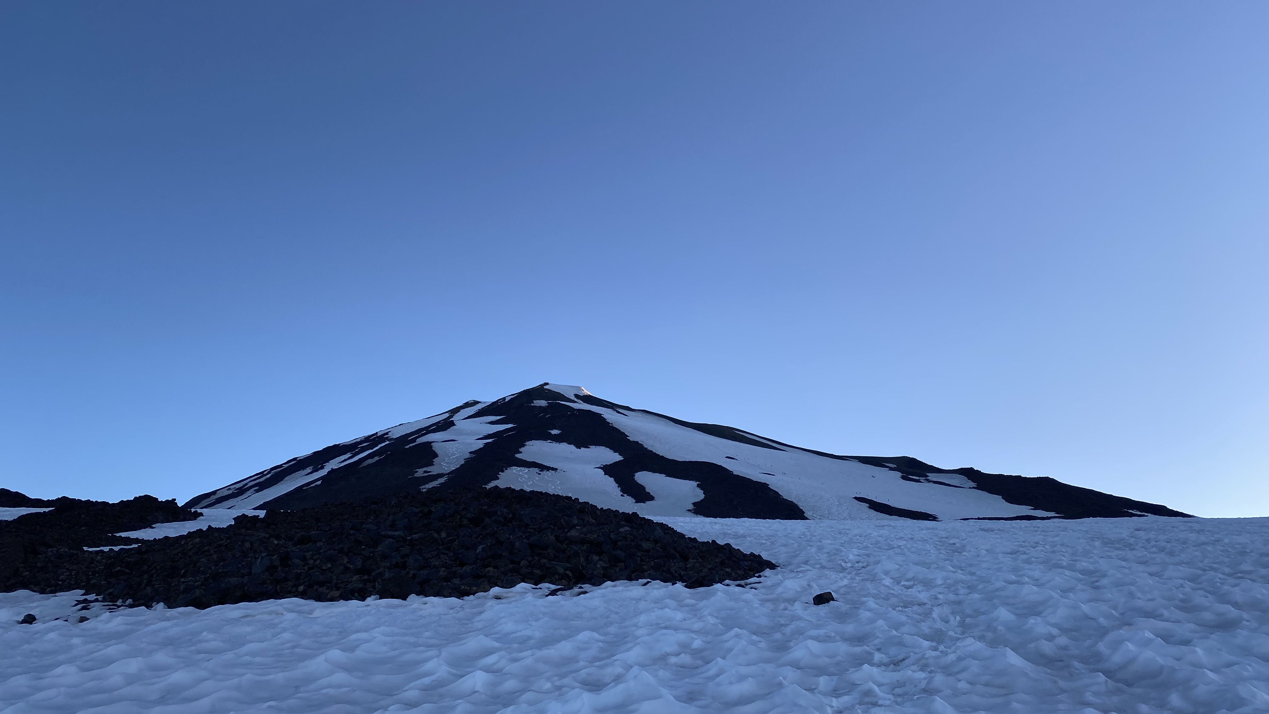
From there we had the occasional patch of snow until we reached the Morrison Creek drainage. Above the creek was pretty much full snow cover all the way to the top!
Ascending the snow below Cresent Glacier (above Morrison Creek drainage)
We pushed along the South Climb trail until we reached the lower campsites near Crescent Glacier (3). Knowing full well we weren’t quite to the Lunch Counter, and this would mean we would have a longer summit climb the next day, we decided to drop our packs and set up camp.
Lunch!
It was getting into mid-afternoon, and the snow was getting soft and a bit sloppy to walk on. None of our party members complained about the lower campsite, and it meant we’d have more time to relax and enjoy eachothers’ company before an early bedtime and an early morning start.
Campspot with a view
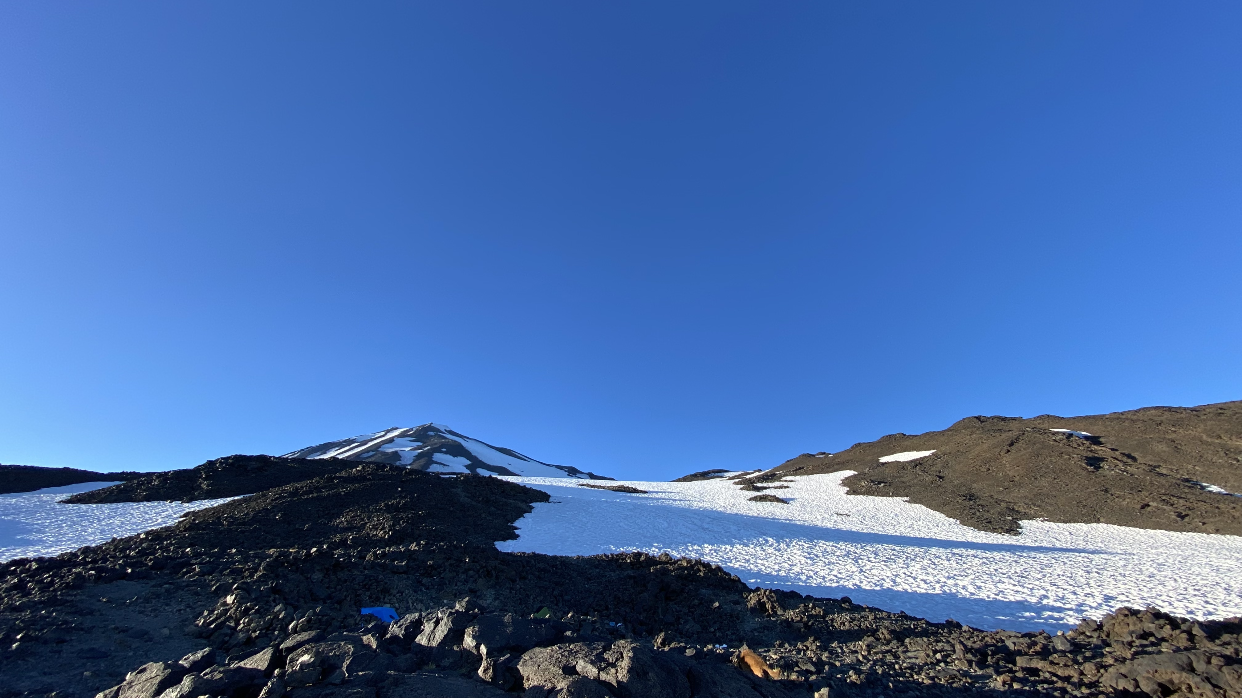
View from camp
After all, several of our crew, as well as our 2 furry companions, had climbed Mt. Hood just 2 days before!
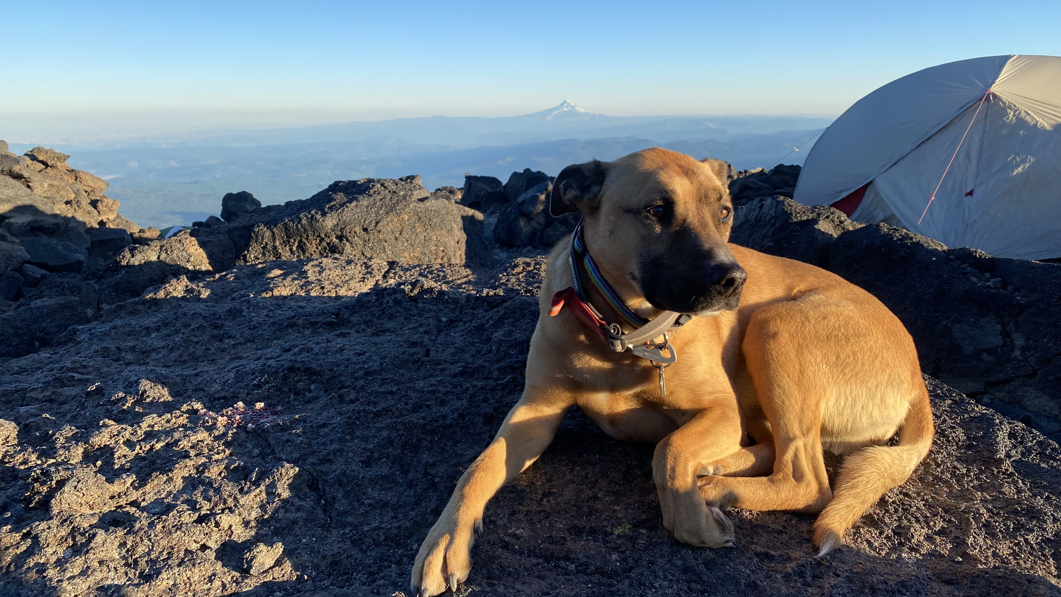
Campsite chill time
Although it was hard to leave the beautiful Alpenglow display that was being put on by the summer sky and surrounding Mountains, we forced ourselves to go to bed just after sunset.
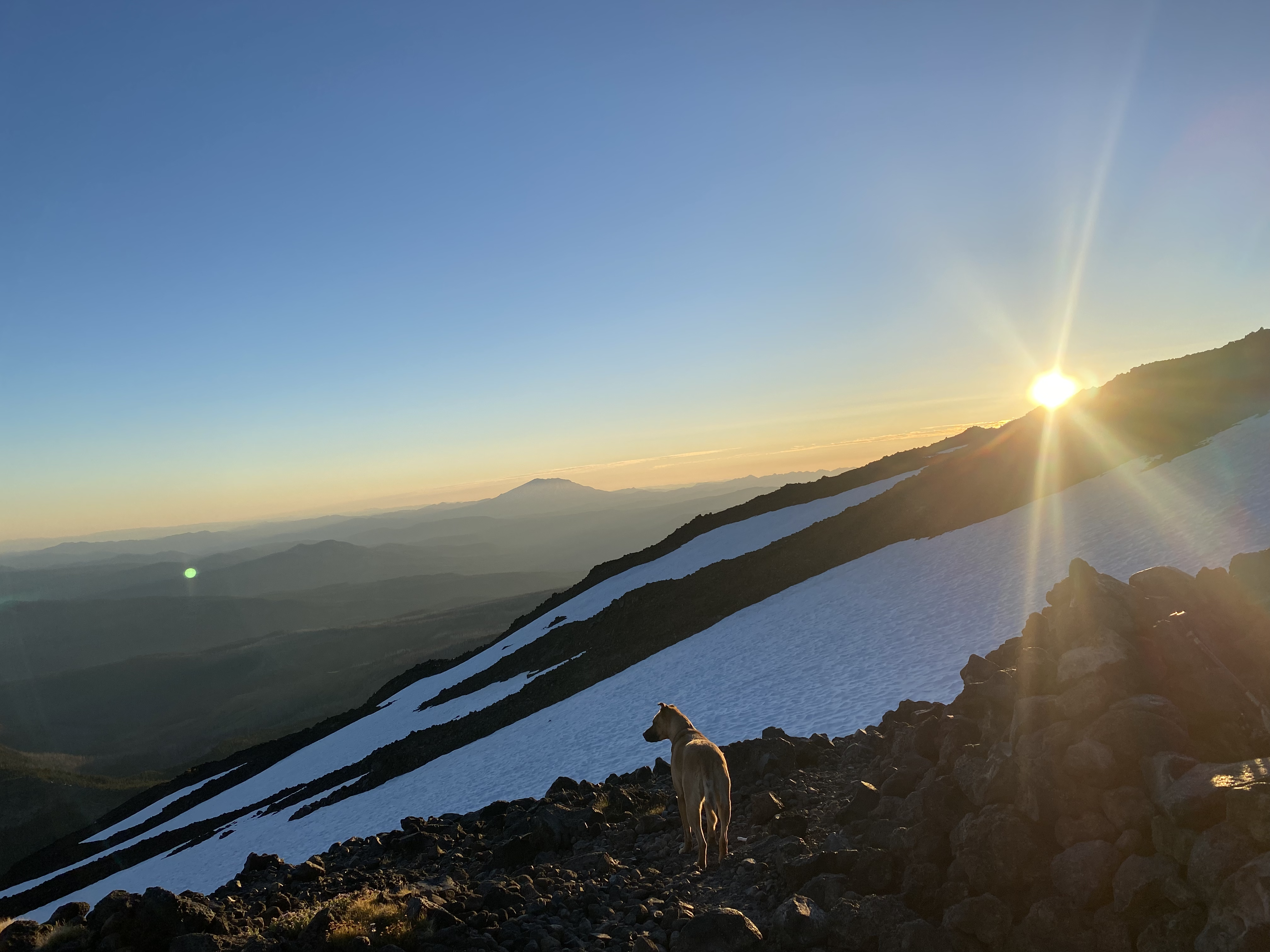
Taking in the sunset
Last bit of alpenglow before bedtime.
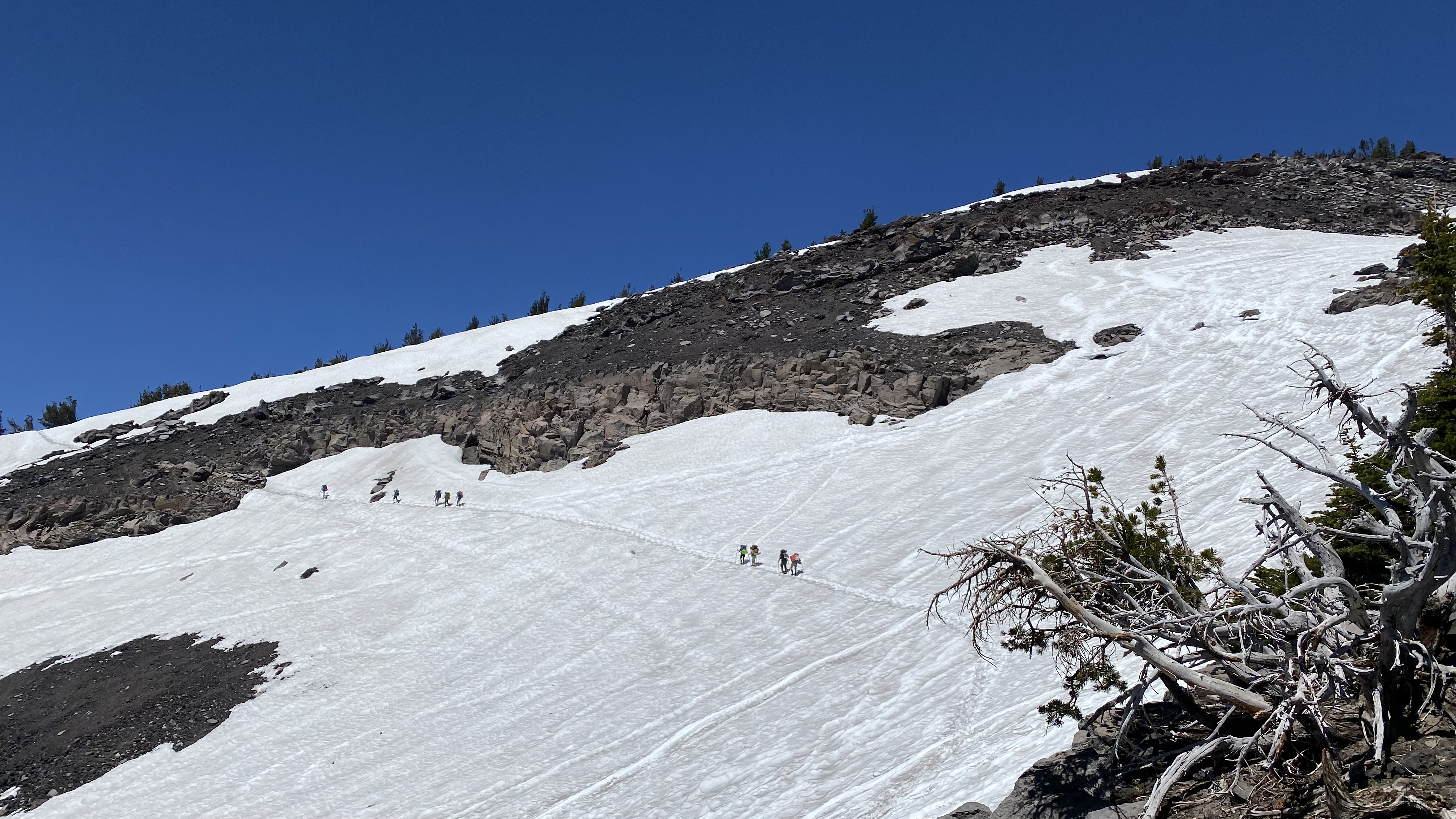
We rallied around 4:30 AM the next morning and started our ascent around 5:30 AM. The snow was firm, so we all put on our crampons as soon as we departed camp.
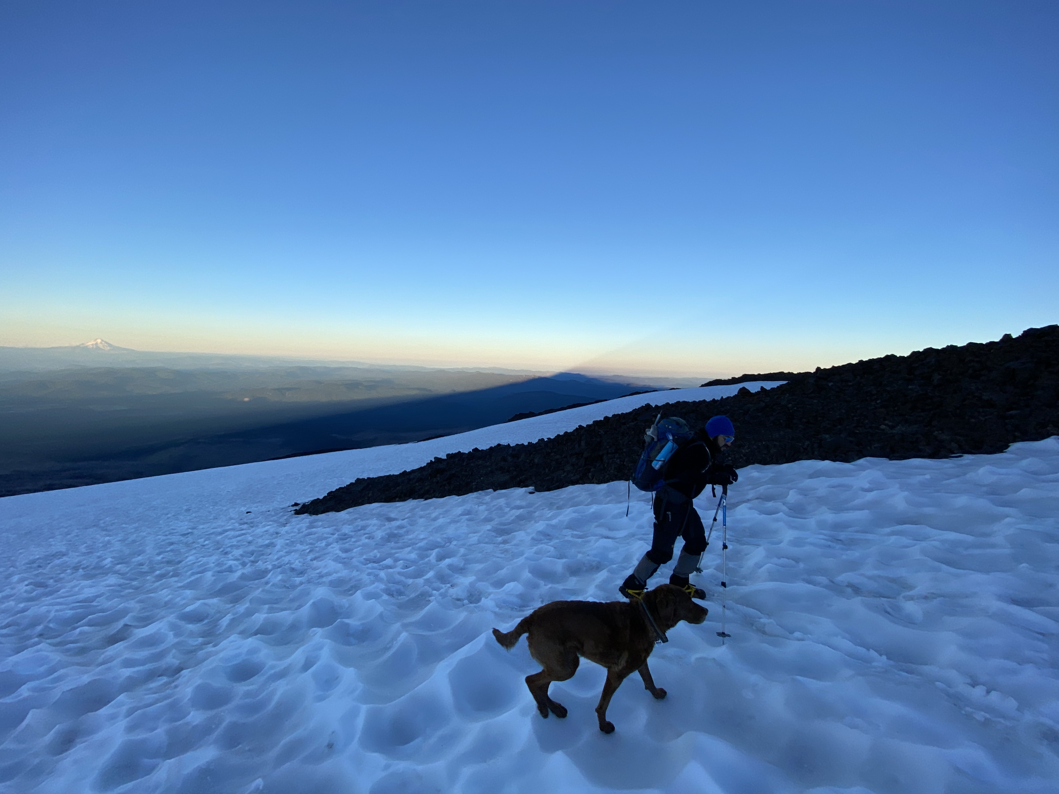
Ascending near Lunch Counter, mountain shadow in the background
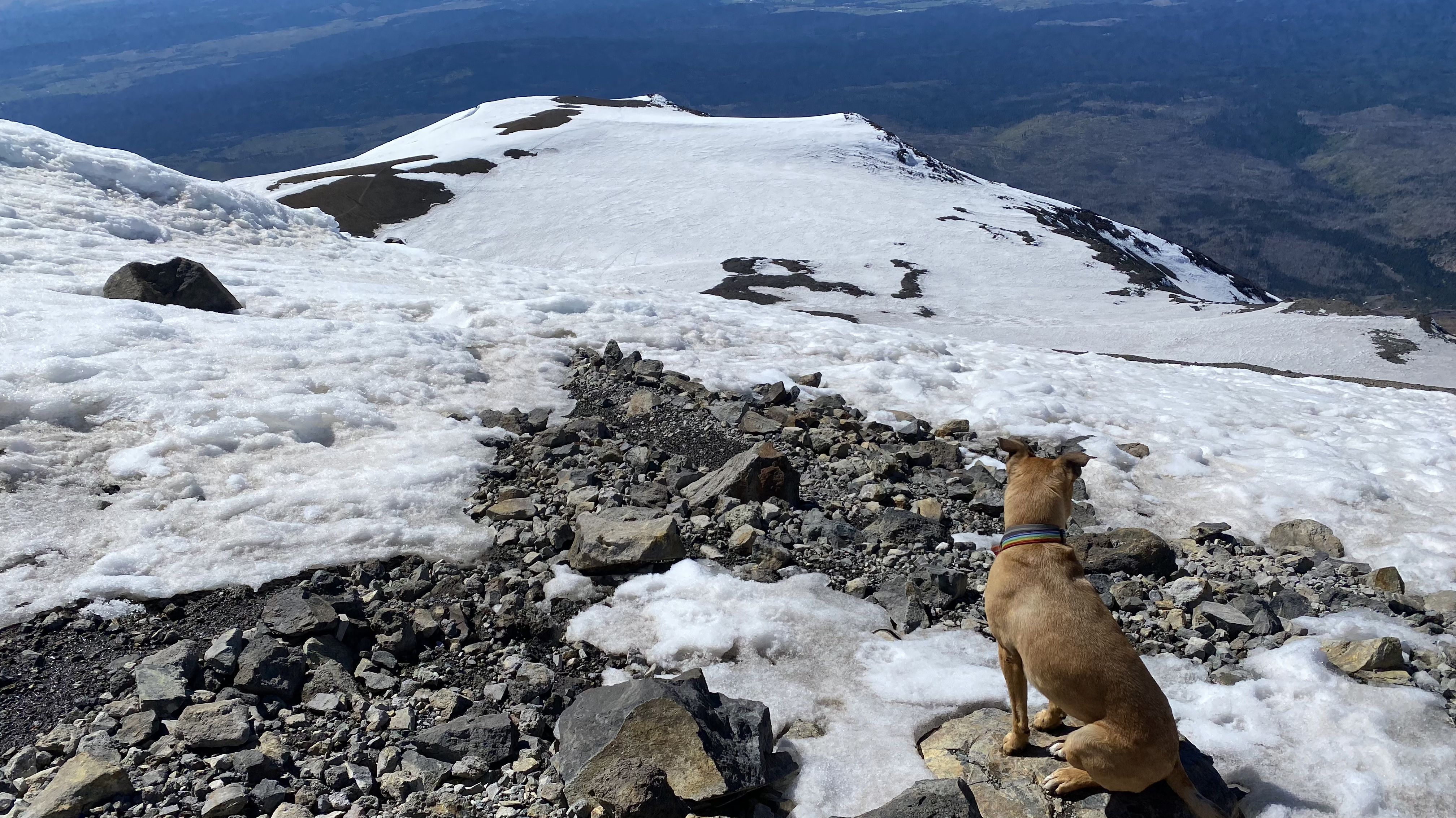
Although one could have chosen to walk on rocks for some of the ascent, we chose to stay on the snow as much as possible. Up we went traveling the multiple uphill pitches next to the seemingly endless downhill Glissade chut, up to the top of Pikers Peak. The middle of Pikers Peak was a bit steep this time, probably at least a 50 degree slope for 20-30 yards! I made a mental note that I and the dogs probably did NOT need to be in/near the glissade chute for this section of the descent, and that I should make alternate plans for our way down! Once again I was leading the slow and steady crew. We were two hours behind our fast crew, and an hour behind the rest. We did encounter all of them as we ascended the Mountain and they descended, exchanged hugs and high fives, and snapped a few photos. I know my climbing partner thought about quitting at the top of Pikers, but onward and upward we pushed.
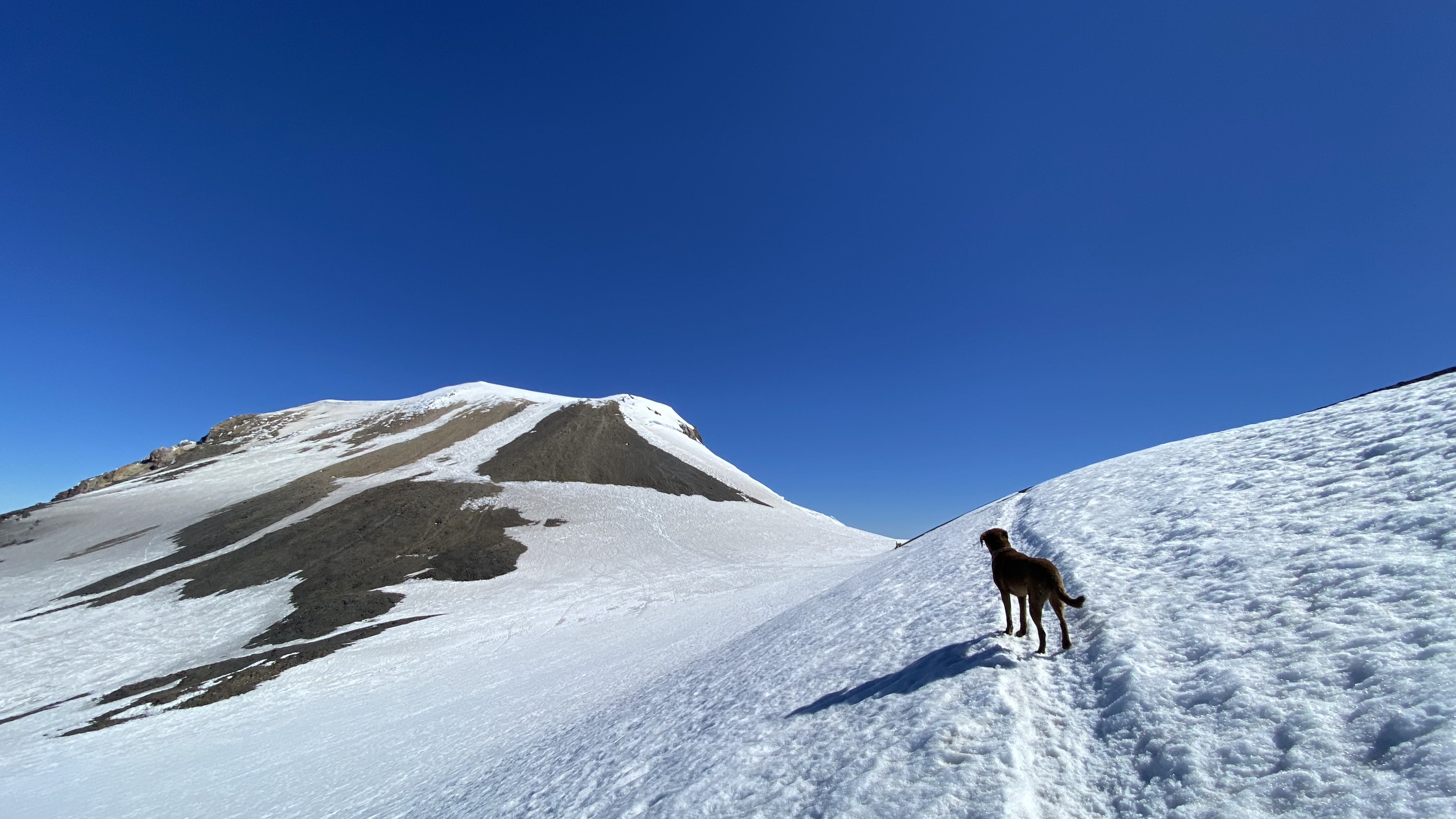
The view from Pikers Peak
We had stood on the summit of Mt. Adams 18 years before and it meant a lot to both of us to be able to stand there together again.
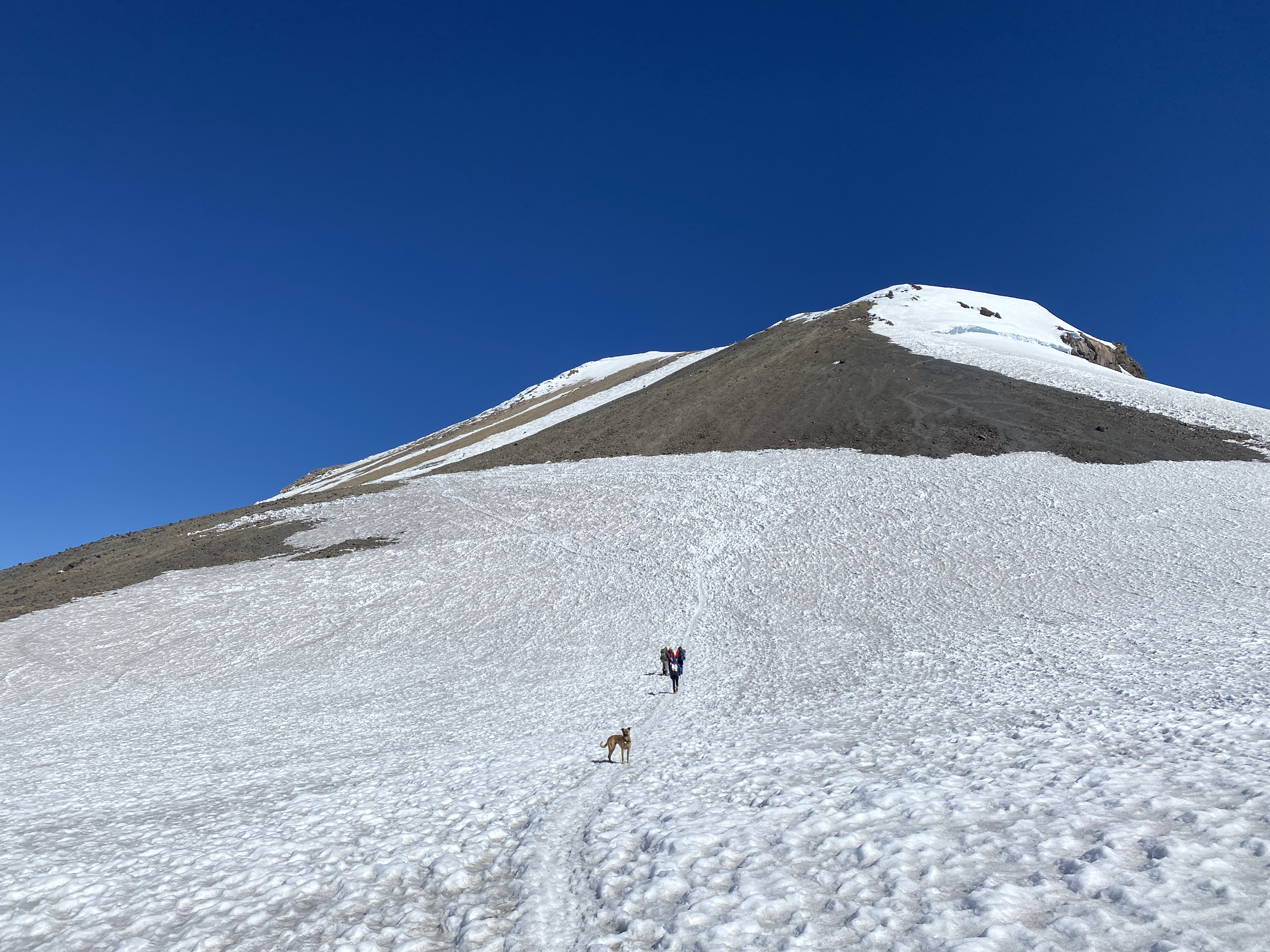
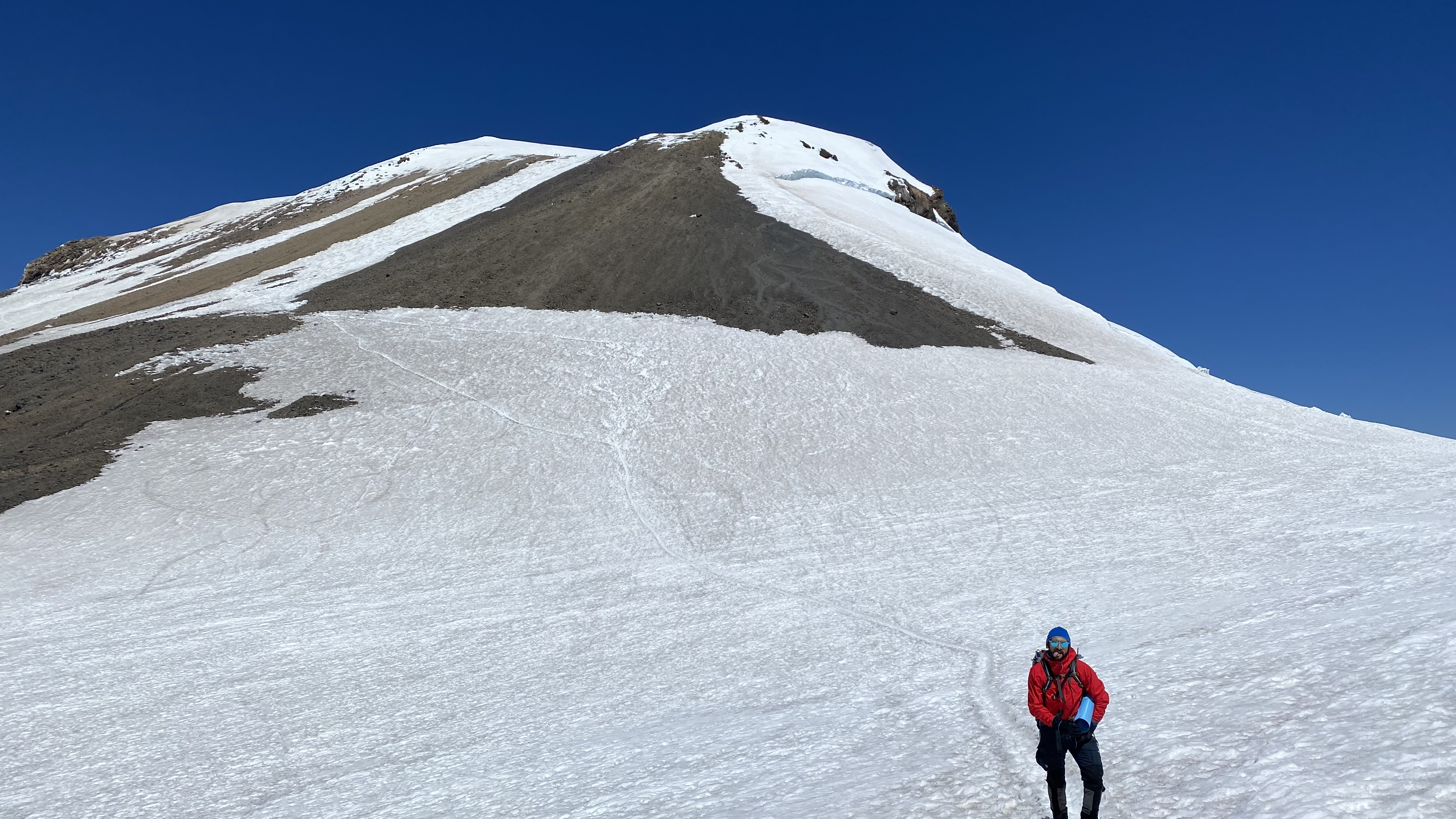
Trek to the summit above Pikers
Contemplating the final push
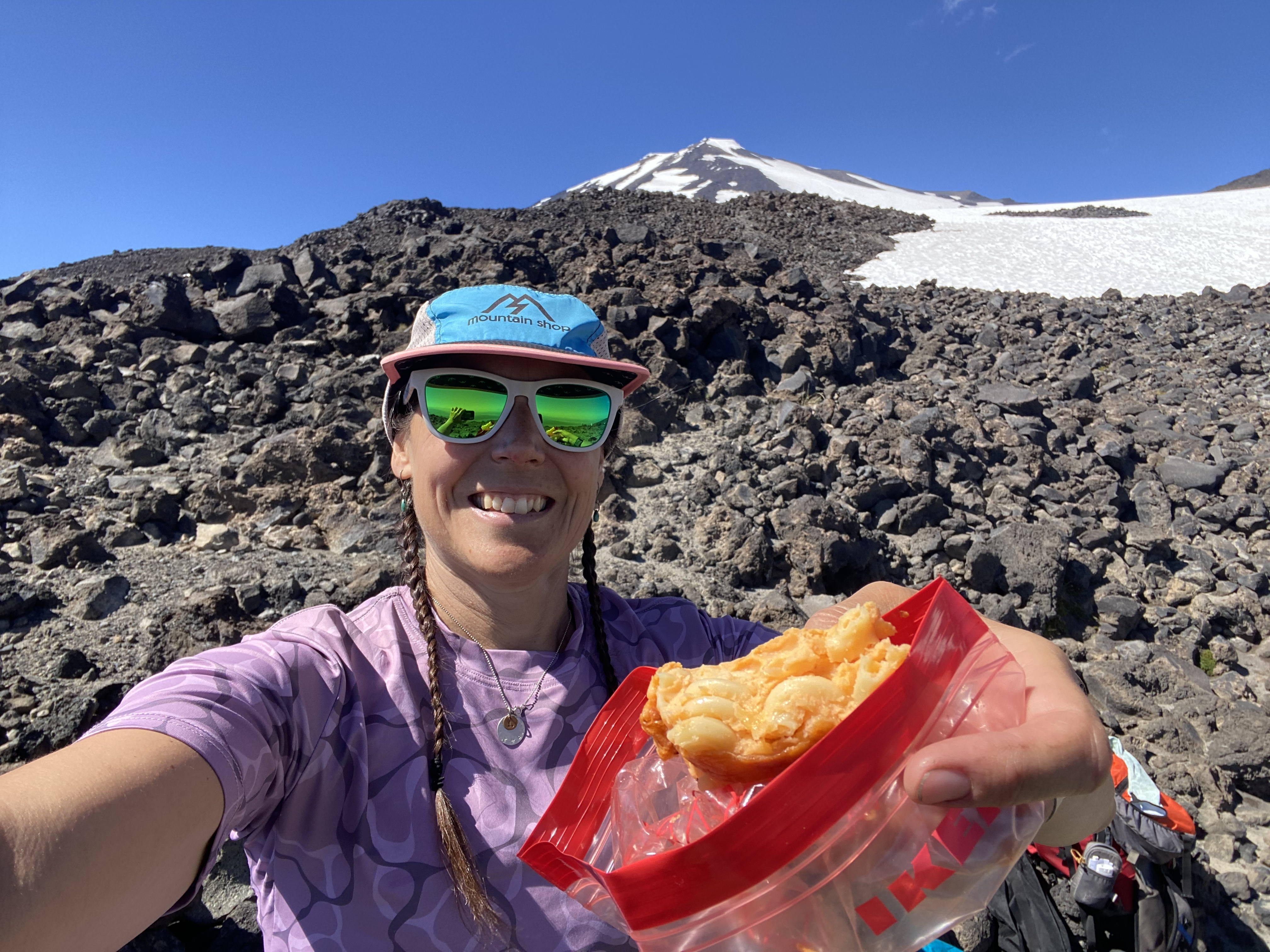
Eventually we made it to the summit where we were met with beautiful sunny blue skies and very little wind.
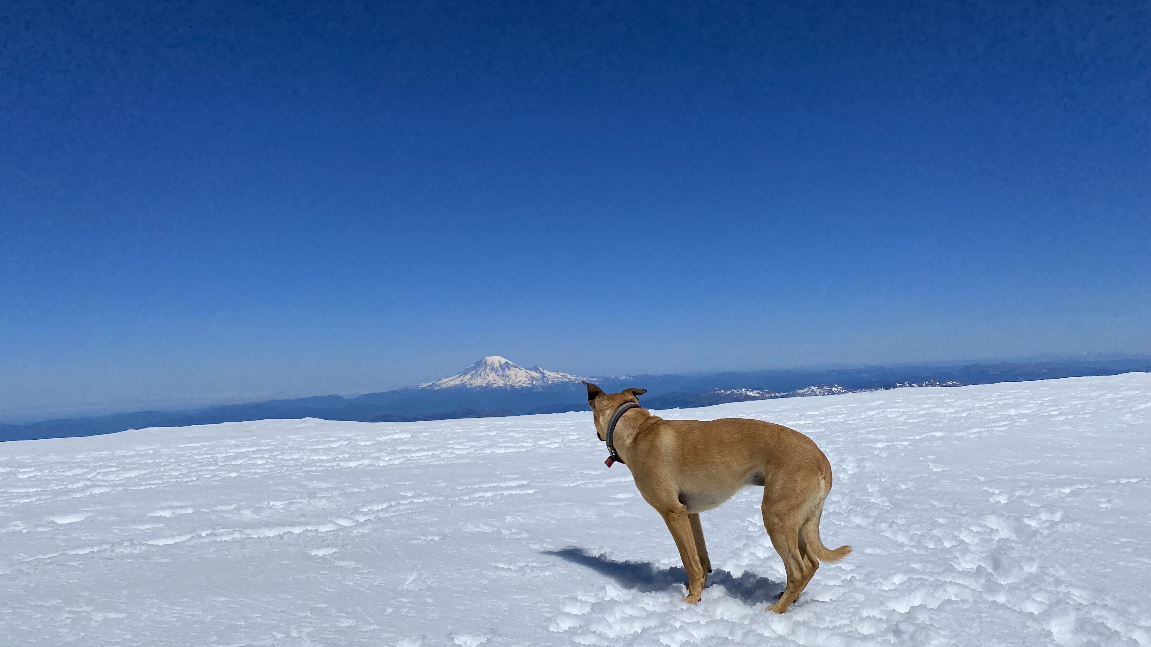
Summit view
We could see the Tatoosh Range, the Goat Rocks and Rainier/Tahoma to the North, and Mt. Hood, Mt. Jefferson, the Three Sisters and loads of other Mountains, hills and valleys to the South, East and West. The summit push was worth it and we descended via the Glissade track back down toward Pikers Peak.
Descent
Of my 8 summits of Mt. Adams, never have I chosen an alternative route down Pikers Peak. The dogs had even both climbed with me before, but this time my inner voice was telling me that neither of the 3 of us needed to go down the top of the chute. I felt it safer for all parties involved, myself, the dogs, and any ascending/descending climbers we might encounter. It just didn’t feel right, so I decided to see if there was an alternate way down along the rocks next to Pikers Peak. To my delight there was indeed a path through the rocks next to the steepest part of Pikers that the 3 of us were able to walk down without putting ourselves or anyone else in danger. Because we were on a decently worn path, there were no rocks to dislodge above or below us and it was pretty quick to travel along the top ⅓ of the Pikers Peak glissade chute and join our friend well below the steepest part of the chute, where I felt it completely safe for all of us. After waiting for a few climbers to ride past us in the chute I jumped in and the dogs followed alongside me. We quickly descended the softened snow all the way down to the Lunch Counter where we joined our climbing partner.
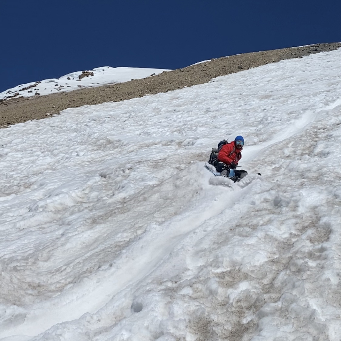
Glissade reward
It wasn’t quite steep enough and the snow had softened up quite a bit, so glissading below there was a little difficult. We reached our camp, took an extended lunch break, packed up and hiked out the way we came in. Of note was the fact that we could not see Morrison Creek the day before when we hiked in, but it was flowing full force on our hike out. That meant that enough snow melt happened over the 24 hours since we had last passed by it to fully expose the water. If we had needed water, it would have been an excellent place to tank up! The dogs enjoyed the cool, refreshing drink. We returned to our cars and a more than max-capacity full parking lot, with dozens more South climb-bound cars encountered on the drive down.
One last look
We headed back down to Trout Lake to join the rest of our crew for a post-summit BBQ camp-out and the continued celebration of our dear friend’s Birthday week. The next day, the rest of the crew would get to go rafting on the White Salmon River while I participated in some horse wrangling at the Ranch and headed in to do some work at Mountain Shop.
Gear:
BlackStrap Brackish Sun Tee
BlackStrap Brackish Sun Hoody
Midweight insulating layer for the early morning climb
Rab Borealis Hoody
Patagonia Down Sweater Hoody
Patagonia Houdini pants
Goodr Sunglasses, Sunscreen (SPF 60),
Awesome Territory Run Company Mountain Shop custom hat
Lip balm with SPF 30
Mountaineering boots, ice axe, crampons, and helmet
10 emergency essentials (map, compass, whistle, knife, signal mirror, etc.)